Temperatures to drop sharply as Arctic mass sweeps in

Cold weather alerts have been issued nationwide as a bitter cold wave is forecast to grip the nation throughout the week starting Tuesday.
According to the Korea Meteorological Administration on Monday, cold wave advisories were issued for Seoul and the surrounding metropolitan cities, the Chungcheong region, North Gyeongsang Province, and parts of North and South Jeolla provinces. Cold wave warnings were also imposed across northern Gyeonggi Province and central and northern Gangwon Province. Both are set to take effect at 9 p.m.
A cold wave advisory is issued when morning lows are expected to fall below minus 12 C for at least two consecutive days, and a warning is issued when they are expected to fall below minus 15 C for the same duration.

On Tuesday, morning temperatures in Seoul are forecast to drop to minus 13 C, with most inland areas expected to remain below freezing, including Daejeon at minus 11 C, Gwangju at minus 6 C and Busan at minus 3 C.
The cold wave is set to peak on Wednesday.
Morning lows are expected to hover around minus 15 C in northern Gyeonggi Province and mountainous parts of Gangwon Province, while southern regions are likely to see temperatures between minus 10 C and minus 5 C.
Subzero conditions will persist through the end of the month. Morning temperatures are projected to range from minus 18 C to 5 C on Thursday, followed by minus 14 C to 3 C on Friday and Saturday. From Sunday through Jan. 28, temperatures are set to edge up slightly while remaining below seasonal norms.
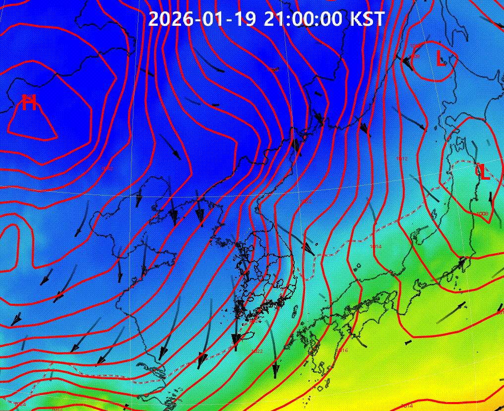
The sudden drop in temperatures is due to “blocking,” a meteorological phenomenon caused by a powerful high pressure system near the Bering Sea that disrupts atmospheric circulation, officials said.
As a result, a low pressure system over the Korean Peninsula is unable to move eastward and instead lingers, continuously pulling cold air down from the north.

As cold northwesterly winds generate snow clouds over the West Sea, snowfall of 2 to 7 centimeters is expected mainly along the western coast of the Jeolla region from Thursday through Saturday, with heavier accumulations of 5 to 10 centimeters forecast for mountainous areas of Jeju Island.
Copyright © 코리아헤럴드. 무단전재 및 재배포 금지.